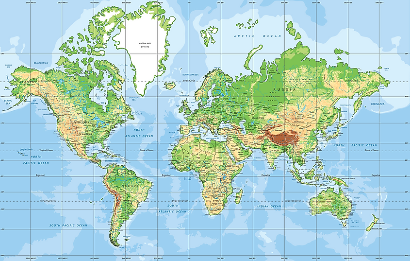
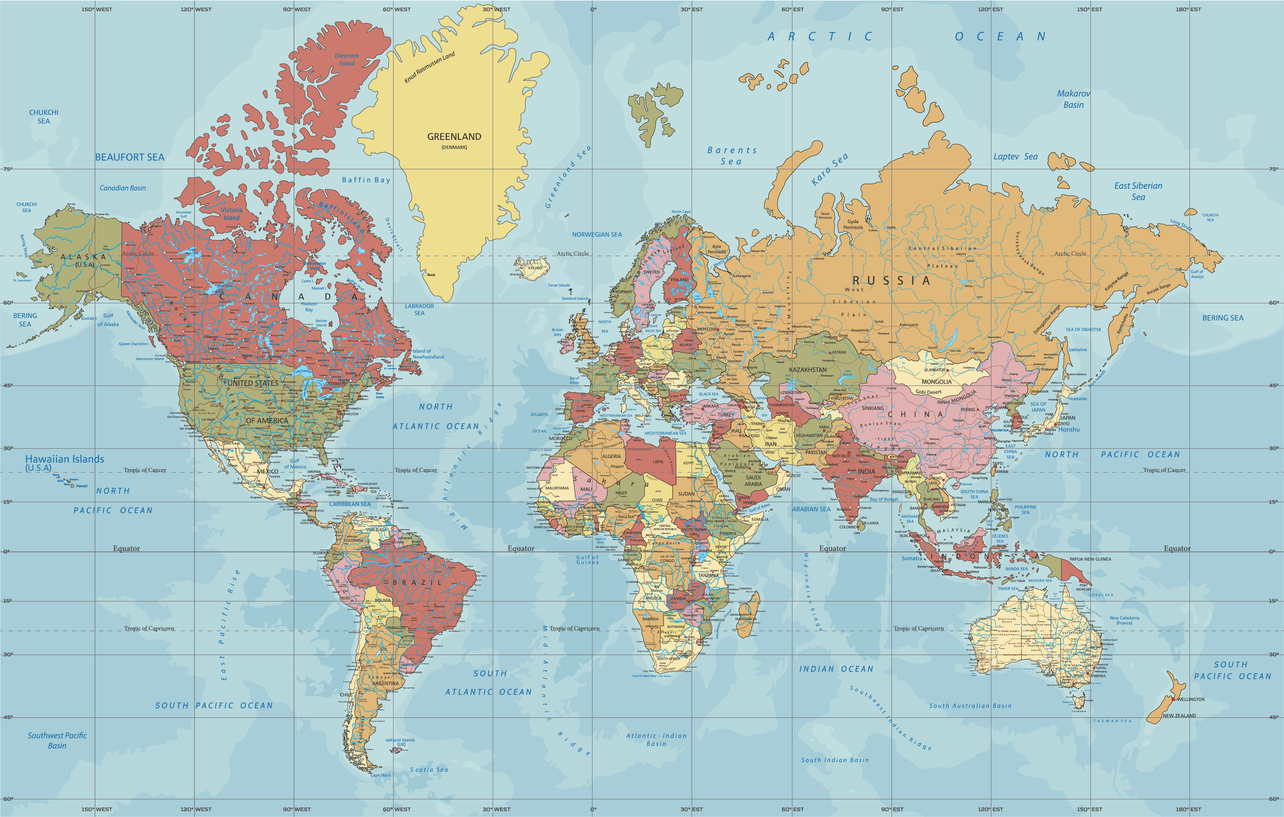
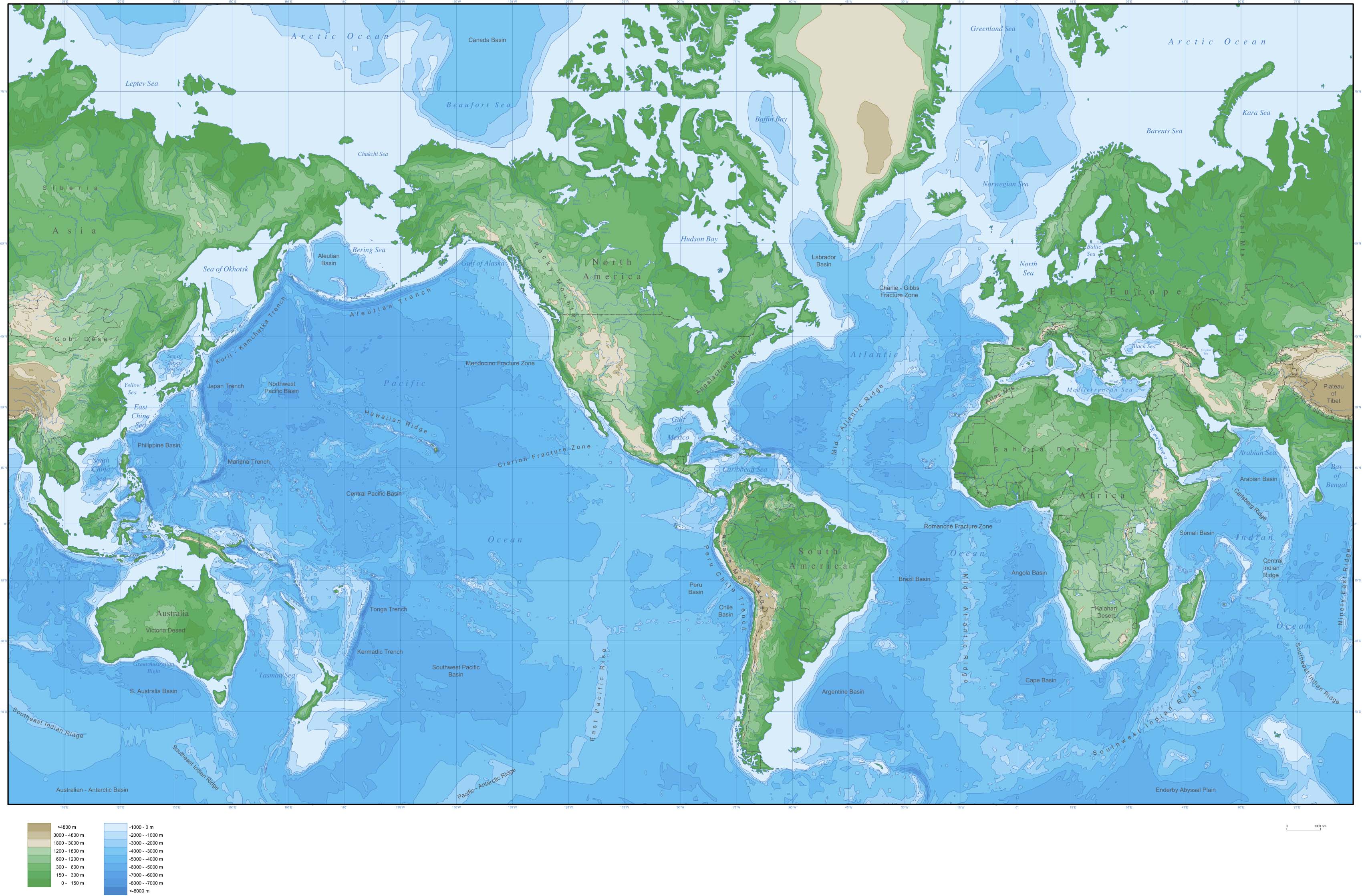
I am not sure that the UN should be in the business of defining a "standard" map projection-- why shouldn't everybody use the map that they find most useful? But if they have to set one single standard map, I'm happy it's not Mercator, because, indeed, the Mercator projection is misleading on area.
In its defence, though, while Mercator distorts areas, it keeps shapes correct (locally), and it also keeps directions correct. Small-area accuracy and correct directions are more important than the large-area distortions for most practical use.
Any projection that keeps areas correct must distort shapes. You can't mash the surface of a sphere onto a flat surface without distorting something.
My favorite is the Lambert equal-area projection, which actually gives you the impression of being a projection of a globe, but you can't win-- all the projections have flaws.
I'll also note that the new UN standard map has moved the equator back up to the center of the map. Pretty much every Mercator projection you ever see has the equator moved toward the bottom, because (1) the far southern reaches are not important to people in the northern hemisphere, and (2) if you put the equator in the center, the Mercator distortion makes Antarctica absolutely HUGE, which puts too much of a highlight on how inaccurate the projection is.
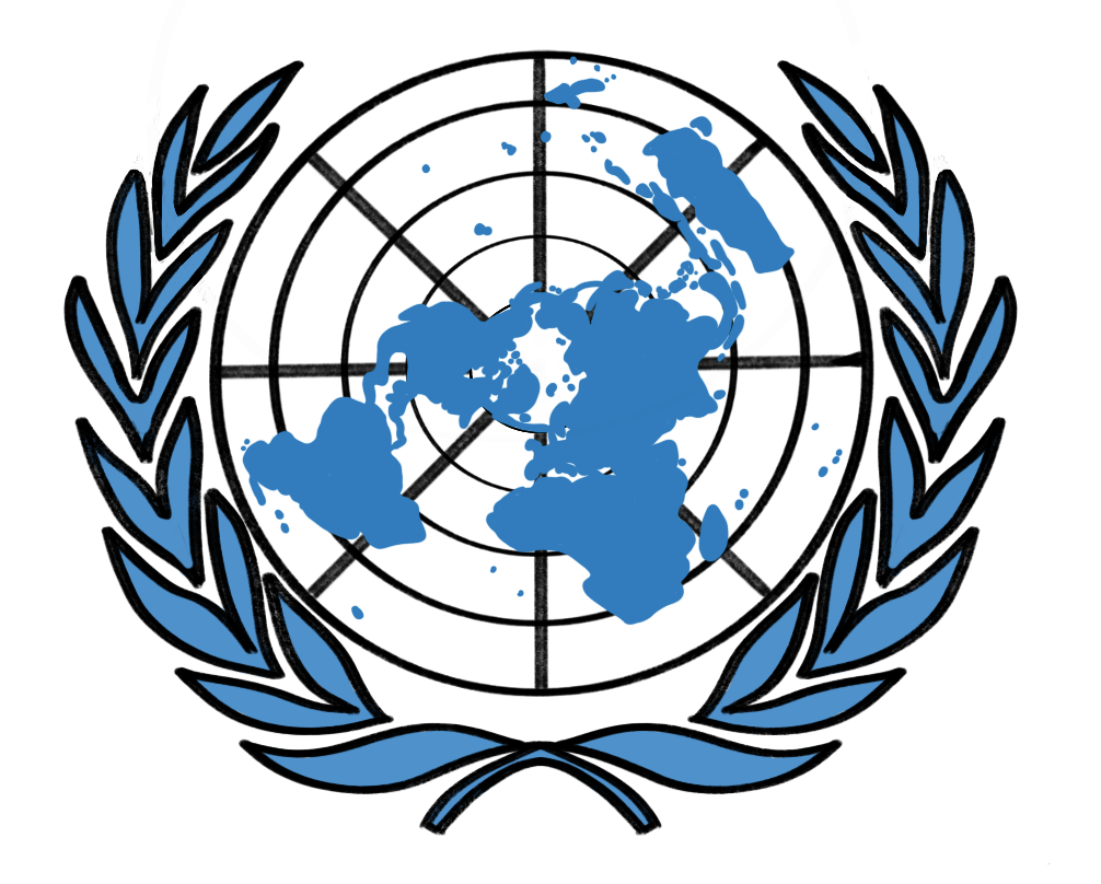
I will also point out that the UN logo itself shows a polar view, different from ANY of the other views (but very clearly is favoring the northern hemisphere).
https://globalsymbols.com/uplo...