Dronedesk
Dronedesk is the most comprehensive and user-friendly drone operations management platform on the market. 98% of reviewers rate us "great" or "excellent" with an NPS of 80!
It brings together all the business admin and flight planning tools you need into a single, secure web application. And, it scales seamlessly for any size of operation from solo pilots through to complex enterprise organisations.
With Dronedesk, you can:
- Stay safe: Plan and execute safe and compliant drone flights with advanced airspace intelligence, street and satellite map layers, and real-time air and ground hazard data.
- Stay compliant: Keep comprehensive records of every aspect of your drone operations, including flight plans, fleet and equipment inventories, and flight logs.
- Save time: No more spreadsheets or document templates, everything is centrally recorded, accessible from any device and available in an instant.
- Save money: Operators like you tell us that, on avaerage, they saved 51 minutes per job since switching to Dronedesk. You can see just how much you'll save with our handy calculator.
- Grow your business: Create quotes and invoices, get access to tender opportunities, and automate lead generation to grow your business
Learn more
AutoCAD
Autodesk AutoCAD is a complete computer-aided design and drafting solution that transforms the way professionals conceptualize, document, and deliver projects. Built for precision and creativity, AutoCAD supports 2D drafting and 3D modeling with intelligent tools for solids, surfaces, and meshes. The AutoCAD 2026 release integrates Autodesk AI, automating repetitive tasks like object placement, markup interpretation, and drawing comparisons to save hours of manual effort. Users can collaborate seamlessly using Autodesk Docs, ensuring consistent document management and version control across teams. With built-in AutoLISP, APIs, and the Autodesk App Store, the software is endlessly customizable for specialized workflows. Its seven industry-specific toolsets—including Architecture, MEP, and Plant 3D—optimize productivity and deliver specialized functionality for each discipline. AutoCAD’s cloud connectivity enables real-time co-authoring and access from any device. Whether for buildings, infrastructure, or products, AutoCAD remains the most trusted platform for professional design innovation.
Learn more
DroneDeploy
Innovative drone software for industry leaders, DroneDeploy stands as the foremost solution for drone data, relied upon by more than 5,000 businesses globally. We support you comprehensively, from managing your drone fleet to analyzing data effectively. By leveraging the capabilities of aerial intelligence, you can reduce excess staffing hours and lower costs significantly. Our cutting-edge technology provides you with a robust drone solution that simplifies workflows and enhances efficiency. With a dedicated team of specialists available to assist you through chat, phone, or email, you can feel confident in addressing any challenges that arise. Discover how DroneDeploy can transform your operations.
Learn more
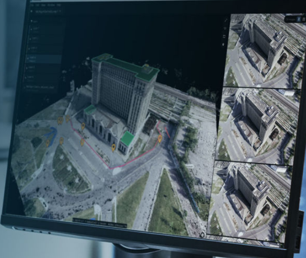
Airteam Fusion Platform
Airteam is an AI-powered software that converts aerial data from drones into digital building models.
This allows photovoltaic planners, roofers, and contractors to measure and inspect buildings quickly and cost-effectively in 3D. This saves approximately 90% of the time of measurements vs. traditional methods such as tape measures and lasers.
In comparison to satellite images, the Airteam 3D measurements and inspections are down to 1cm in accuracy.
Learn more